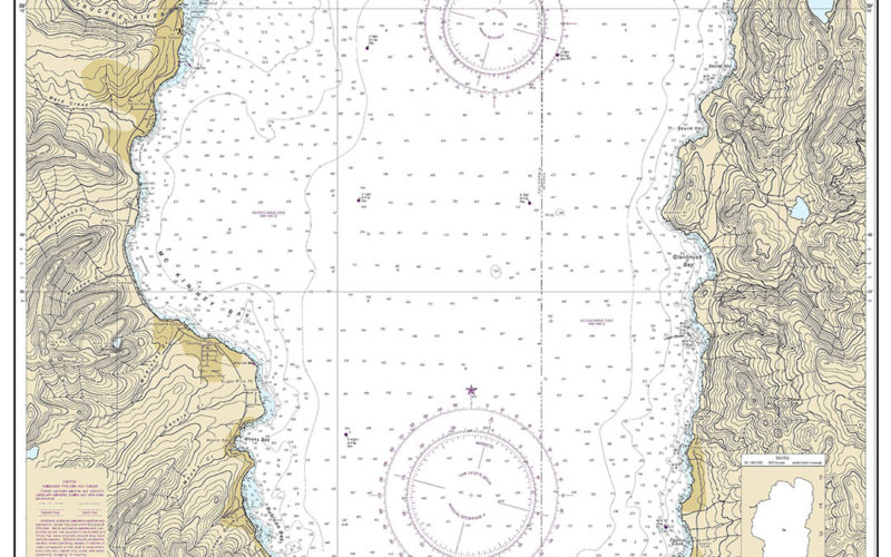

The National Oceanic and Atmospheric Administration (NOAA) began to phase out production of its paper nautical charts on Feb. 26 starting with Lake Tahoe, the first of 1,700 charts being converted to exclusively digital delivery.
The Raster Sunset Plan being implemented by NOAA’s Office of Coast Survey includes a process to notify mariners of the transition for each paper chart to an electronic navigational chart (ENC). The digital charts are easier to update and maintain, keeping mariners safer with the latest information on navigation hazards, NOAA said.
The Lake Tahoe chart was a “test case (for) all the mechanisms and processes to make sure we know what may need to be modified to go ahead,” said Capt. E.J. Van Den Ameele, chief of NOAA’s Marine Chart Division.
As part of the sunset plan, a chart’s cancellation will be announced in a local notice to mariners from the U.S. Coast Guard. A note in the lower left corner of the chart will state that this is the last paper edition and that it will be canceled six months later. After Aug. 26, the ENC will be the only NOAA nautical chart for Lake Tahoe.
NOAA has tracked sales of paper charts and downloads of electronic charts for more than 15 years. Paper chart demand has declined while electronic chart demand has increased, with those requests now outnumbering paper chart sales by nine to one, said Julia Powell, chief of NOAA’s Navigation Services Division.
Feedback to the sunset plan from the commercial shipping industry has been positive overall, according to Van Den Ameele. The American Pilots’ Association submitted comments in 2019 when the project was proposed.
“APA does not oppose NOAA’s five-year program to sunset production of all raster and paper nautical charts,” the group said.
The electronic charts will integrate fully with electronic chart display and information systems (ECDIS), allowing for alarms and customization not possible with raster-based versions.
“The electronic charts mean improved safety because ECDIS cannot interact fully with the raster charts,” said Samuel B. Pearson III, an assistant professor at California State University Maritime Academy.
Electronic charts can be easily updated, with the changes posted online in as little as a week, Van Den Ameele said. With paper charts, it could take as long as two years for new information to be added and for the updated versions to be distributed. Users can download electronic charts for free or subscribe to third-party services that provide updates as needed.
Initially, electronic charts matched their paper counterparts in appearance. But as digitization efforts progress, ENCs will be re-created on a grid pattern, which will improve their performance in a navigation system and make it easier to maintain the aspect ratio of the chart.
“When you zoom in, it will be seamless to the user like Google Maps, where it redraws automatically,” Van Den Ameele said.
ENCs provide the foundation for future products that will improve navigation safety, integrate with GPS data and allow for better ship positioning. Information in the electronic charts can be used to send alerts to mariners if they are heading into waters that may be unsafe for their vessel, for example.
“It’s a clear advantage for ENC-based navigation,” Powell said. “It will provide the maritime community with more intelligence to make informed decisions at every step.”
If they prefer, mariners can use the online NOAA Custom Chart tool (devgis.charttools.noaa.gov/pod/) to create their own paper and PDF charts from the latest ENC data. Paper charts also will still be available through print-on-demand vendors, Powell said.
NOAA expects to cancel all traditional paper and associated raster chart products by January 2025. All ENCs will be available for free download at www.charts.noaa.gov.