
Mariners will have access to more accurate wind and wave forecasts further into the future through an updated weather model launched by the National Oceanic and Atmospheric Administration (NOAA).
The latest Global Forecast System (GFS) model provides wind and wave predictions 16 days out, compared to 10 days under the prior model, according to Vijay Tallapragada, Ph.D., chief of the Modeling and Data Assimilation Branch at NOAA’s Environmental Modeling Center.
“For long-term planning for route planning, the marine industry will have more information for significant weather events that can cause significant wave events, and the avoidance regions will be determined much farther ahead of time before the ships navigate into those areas,” Tallapragada said.
NOAA announced the new GFS weather model in March 2021. The program will provide better hurricane forecasting and improved predictions for snowfall location, heavy rainfall forecasts and more accurate predictions overall. The GFS was last updated in 2018.
“When we announced our upgrade to the global forecast system in 2018, we described it as replacing the engine of a car,” Louis Uccellini, director of the National Weather Service, said at a press conference unveiling the new model. “With today’s upgrade, we are adding more horsepower to that engine, and actually more upgrades to the entire car.”
Through the updated GFS, wind and wave forecasts are distributed simultaneously using consolidated atmospheric data, which makes the wave forecast more accurate. Under previous models, the wave forecast was updated every six hours, but with the new model, the wave forecast updates every five minutes. The new model calculates the effect of ocean currents on waves for a better depiction of swells and significant wave heights.
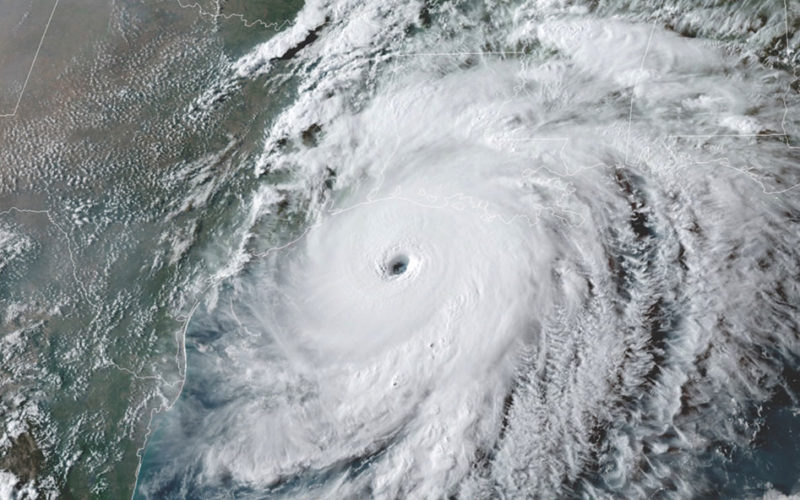
“The primary motivation for making this upgrade is to improve the tropical cyclone forecast, especially in the Atlantic,” Tallapragada said.
The tropical cyclone track and hurricane track forecast has been improved by 15 percent under the new model, and the intensity forecast for those storms has been improved by about 20 percent, he noted.
Also, the new wave forecast provides a higher resolution down to nine kilometers compared to roughly 28 kilometers under the previous model. That means estimates for primary and secondary waves and significant wave heights are available at a higher resolution.
NOAA also is modernizing the Global Data Assimilation System that will allow its weather forecast model to incorporate more data from geostationary and polar-orbiting satellites and flight-level wind, temperature, and moisture observations from aircraft.
The new model was tested using retrospective data based on part of the 2018 hurricane season and real-time testing May 2020 through March 2021 and compared to the performance of the previous version to assess accuracy and reliability.
“This substantial upgrade to the GFS, along with ongoing upgrades to our supercomputing capacity, demonstrates our commitment to advancing weather forecasting to fulfill our mission of protecting life and property,” Uccellini said in a statement.
The model upgrade, he added, “also establishes a strong foundation for further planned enhancements that will allow for the assimilation of even more data into the model.”